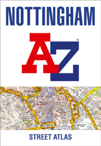
Huddersfield A-Z Street Atlas
HarperCollins Publishers
£7.98
This atlas of Huddersfield features 65 pages of coloured street mapping and covers an area extending to Cleckheaton, Birstall, Batley, Gawthorpe, Ossett, Thornhill, Emley, Clayton West, Skelmanthorpe, Denby Dale, Scholes, Holmfirth, Netherthong, Meltham, Marsden, Slaithwaite, Stainland, Southowram, Brighouse and Hightown.
- | By (Author): A-Z maps
- | Series:
- | Publisher: HarperCollins Publishers
- | Publication Date: Apr 17, 2015
- | Country of Publication: United Kingdom
- | Number of Pages: 104 pages
- | Language: Not available
- | Binding: Paperback|Softback
- | ISBN-10: 1843482746
- | ISBN-13: 9781843482741
- By (Author):
- A-Z maps
- Publisher:
- HarperCollins Publishers
- Publication Date:
- Apr 17, 2015
- Country of Publication:
- United Kingdom
- Number of pages:
- 104 pages
- Binding:
- Paperback|Softback
- Language:
- Not available
- ISBN-13:
- 9781843482741


