Sale

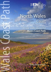
North Wales Coast Path Map: 1:25,000 Scale Ordnance Survey Mapping For The Wales Coast Path

Northern Eye Books
SKU:
9781908632586
|
UPC:
9781908632586
£9.99 £9.61
(No reviews yet)
Condition:
New
Current Stock:
Adding to cart… The item has been added
One of seven handy, lightweight, pocket sized map bookscovering the whole of the 870 mile/1400 kilometre Wales Coast Path. This volume covers North Wales from Chester to Bangor and includes enhanced large scale (1:25,000) Ordnance Survey mapping in a handy atlas format.


  • | Author: Unknown
  • | Publisher: Northern Eye Books
  • | Publication Date: Mar 07, 2022
  • | Country of Publication: United Kingdom
  • | Number of Pages: 48 pages
  • | Language: Unknown
  • | Binding: Softback
  • | ISBN-10: 1908632585
  • | ISBN-13: 9781908632586
Author:
Unknown
Publisher:
Northern Eye Books
Publication Date:
Mar 07, 2022
Country of Publication:
United Kingdom
Language:
Unknown
Number of pages:
48 pages
Binding:
Softback
ISBN-10:
1908632585
ISBN-13:
9781908632586